Sourcepole attended FOSS4G Europe 2026 in Timișoara and contributed to the programme with presentations on SensorThings and QGIS Web Client.
Sourcepole attended FOSS4G Europe 2026 in Timișoara and contributed to the programme with two presentations:
- Exploring real-time geospatial data with SensorThings: from QGIS to QWC
- QGIS Web Client – Latest from the project
Exploring real-time geospatial data with SensorThings: from QGIS to QWC
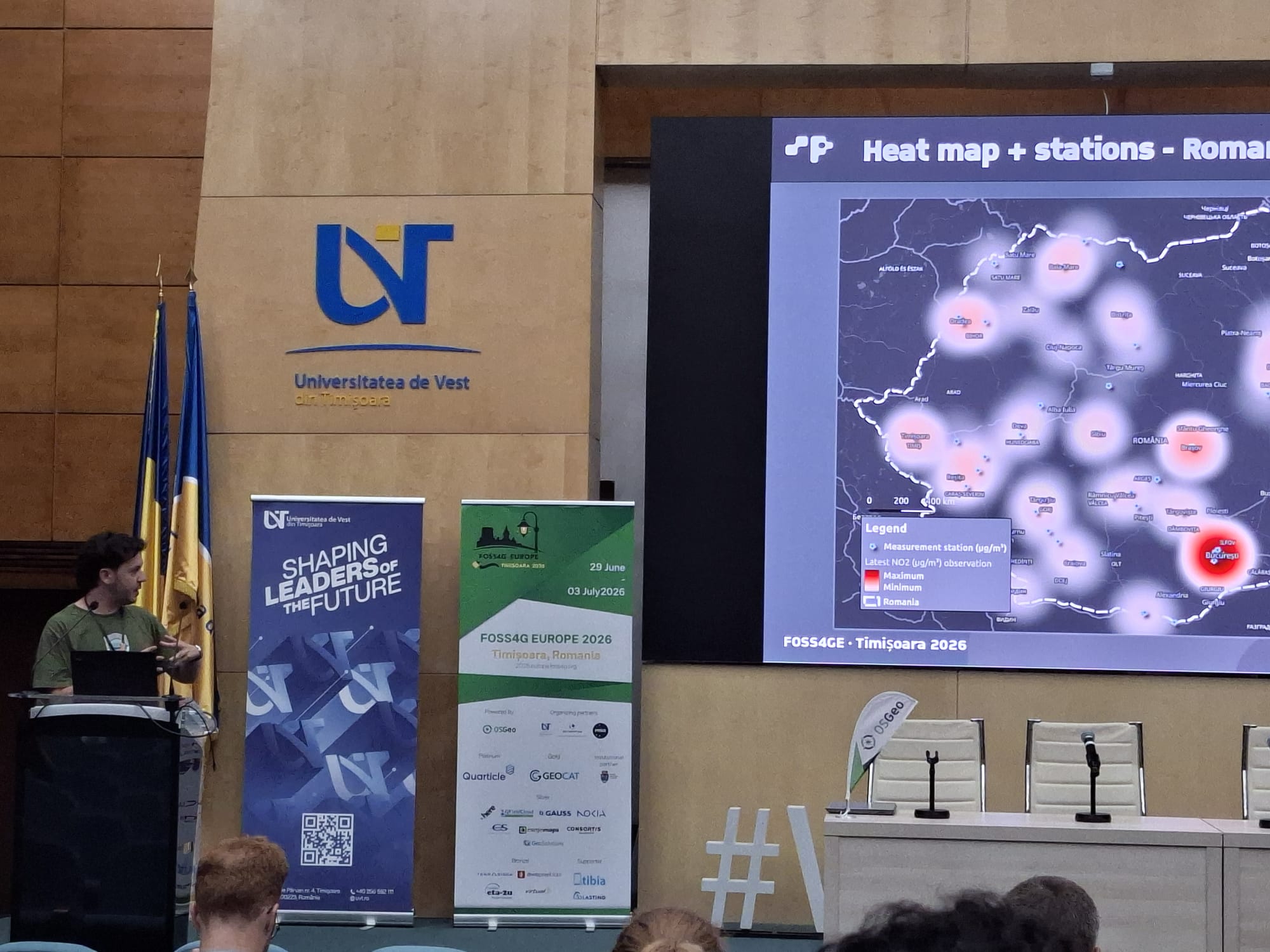
Real-time and time-series data are becoming increasingly important in geospatial workflows, but they are still not always easy to integrate into everyday GIS environments.
The OGC SensorThings API provides an open standard for accessing observations, sensors, and time-series data. In this presentation, Mariano Salas showed a practical workflow for working with SensorThings data, from connecting to an API and exploring the data in QGIS using the OGC SensorThings plugin and the SensorThings Inspector, to publishing the same data in a web environment with QGIS Web Client.
The talk focused on the full workflow from desktop to web: what steps are needed, what works well, what still requires some manual configuration, and how real-time geospatial data can be made more accessible through open source GIS tools.
Slides from the talk: Download the presentation
QGIS Web Client – Latest from the project
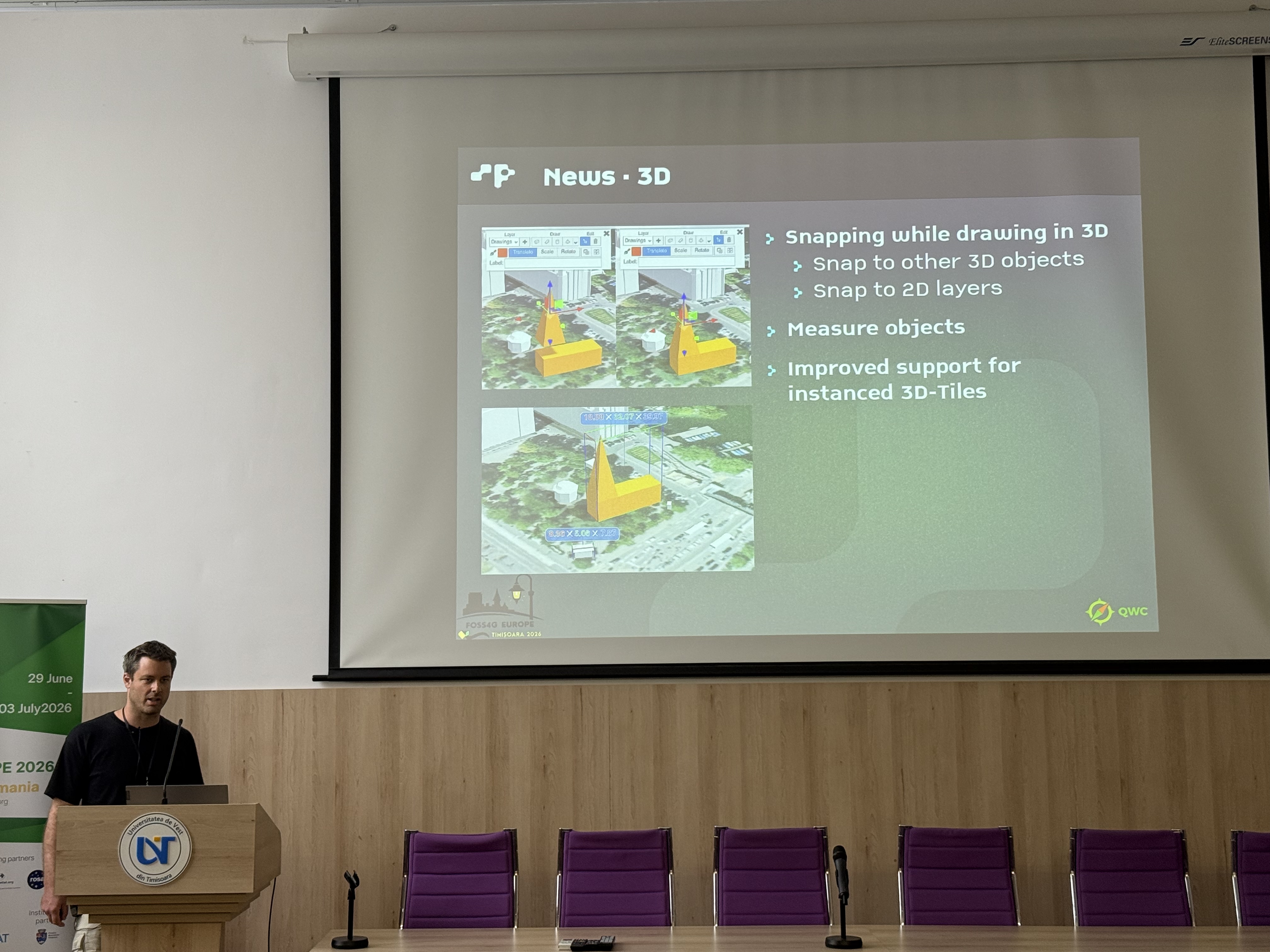
The QGIS Web Client is a mature application for publishing QGIS projects on the web. It provides both 2D and 3D views and allows users to publish projects with the same visualisation as in QGIS Desktop, using QGIS Server in the background.
In his presentation, Sandro Mani gave an overview of the QWC architecture and presented the latest developments from the project. QWC consists of a modern web application based on ReactJS and OpenLayers, together with the qwc-services, an ecosystem of Python/Flask microservices for tasks such as user management, permissions, and geodata processing.
A special focus was also placed on the new 3D view, developed with THREE.JS and Giro3D. It supports the display and sketching of 3D scenes based on 3D tiles and provides powerful possibilities for use cases such as urban planning.
QWC is modular and extensible. It can be used as a standard web application, but also as a development framework for more customised web GIS solutions.
Slides from the talk: Download the presentation
Open source GIS exchange in Timișoara
FOSS4G Europe was once again a great opportunity to exchange ideas with the open source geospatial community, present recent developments, and discuss practical use cases around QGIS, QGIS Server, QGIS Web Client, SensorThings, and modern web GIS workflows.
We would like to thank the organisers, contributors, and everyone who joined our presentations in Timișoara.