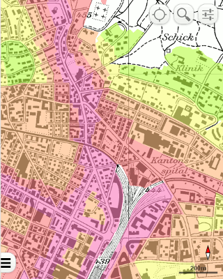
The city of Winterthur recently launched their new public map portal, based on Mapfish Appserver. Some of the features are outlined in the online help (in German).
Mobile users are redirected to the OL3 Mobile Viewer, which is based on OpenLayers 3 and jQuery Mobile. To have a look at it from your desktop browser follow this link.

In contrary to the desktop version, most of the background layers are delivered as tiles and only topic layers are full size WMS requests. The interesting thing is, that instead of using a tile protocol like WMTS, TMS, etc., an OL3 tiled WMS datasource does multiple WMS requests in a tile scheme. The usual tiling problems (labels, etc.) do not apply for the used raster layers and Varnish serves as cache for on-the-fly generated WMS tiles. In contrary to file based tile caching, much less disk space and more important, no update process is needed.
Pirmin Kalberer (@implgeo)